
Why unfamiliar transit feels harder than it is
Every city's transit network operates on its own logic: different fare structures, different naming conventions, different physical layouts. That inconsistency is what trips people up, not the act of riding a bus or train itself. Once you understand a system's basic architecture, the confusion drops quickly.
Urban transit generally falls into a handful of categories: heavy rail (subway or metro), light rail, bus rapid transit, and local buses. Most large American cities mix two or more of these. International cities often add trams and regional commuter rail on top. Trip planning resources can help you identify which modes your destination uses before you book anything.
The strategies below apply broadly, whether you are riding the Chicago L for the first time or trying to decode a bus network in an unfamiliar European capital.
What you will need
What to prepare before you leave home
Preparation done at home converts live stress into calm execution at the station.
Research the fare system. Cities use contactless bank cards, proprietary transit cards, mobile apps, or single-ride paper tickets. Some use all of these; some accept only one. Knowing which method works before you arrive prevents a panicked scramble at a turnstile with a line behind you.
Download offline resources. Google Maps works well for transit routing, but it requires a data connection. Download an offline city map in a separate app (several free options exist) so you always have a fallback. Also download the destination city's official transit authority app if one exists; schedules, service alerts, and system maps are more reliable there than in third-party apps.
Identify your key corridors. Find the one or two transit lines that run closest to where you are staying and where you plan to spend most of your time. Knowing those lines by name or number gives you an anchor when you are disoriented.
If this is your first international trip, practical things first-timers overlook covers money and logistics that affect transit access, including whether foreign credit cards work on tap-to-pay readers.
Step-by-step: riding an unfamiliar system with confidence
Follow these steps on your first day and the system will feel familiar by your second.
Pull up the system map and find your starting point
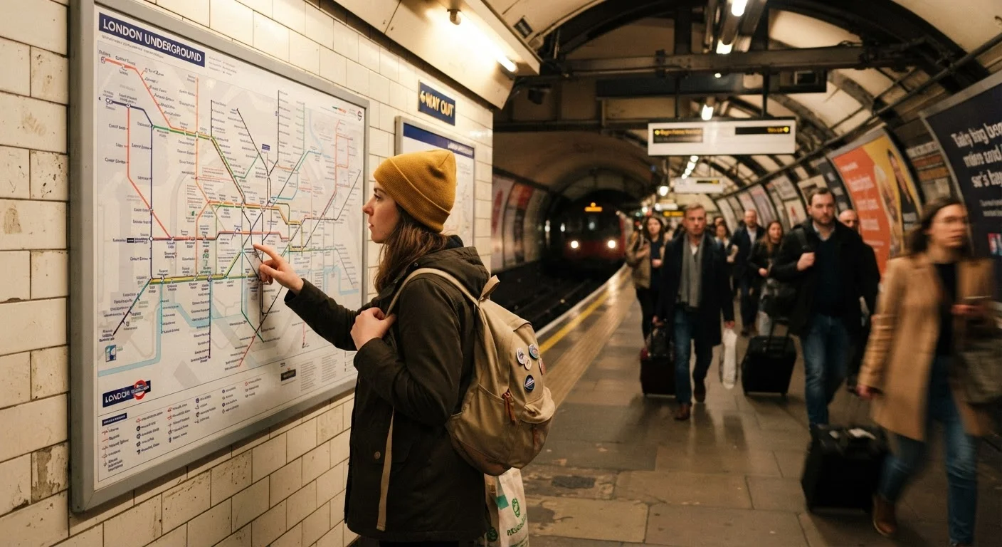
Open the city's official transit map (digital or paper) and locate the station or stop nearest to where you are. Do not start routing until you know your physical starting point. Zoom in on your immediate area first, then zoom out to see the full network.
Plan your route with at least one transfer option
Enter your origin and destination into your transit app and review the suggested route. Note the line name or number, the direction of travel (toward which terminal station), and any transfers required. Then identify a backup route in case of delays or closures.
Buy or load your fare before entering
Purchase your ticket or load your transit card before approaching the gate or boarding the vehicle. Ticket machines at major stations usually have an English language option. If the machine is confusing, look for a staffed window or a transit information booth. Some bus systems require exact change or a loaded card; cash is not accepted at all on a growing number of urban systems.
Confirm the platform or stop direction before boarding
Standing on the wrong side of the tracks or at the wrong bus stop is the single most common beginner mistake. Check the route indicator on the platform screen or the destination sign on the bus before boarding. If both platforms look identical, find a posted system map on the wall and trace the line to confirm which side goes your direction.
Ride, count stops, and exit confidently
Once on board, count stops from your boarding point and watch your transit app's live position. When you are one stop away, move toward the doors. Exit as soon as the doors open; do not wait for the crowd to fully clear first or you risk the doors closing. After exiting, step away from the door area immediately to orient yourself before consulting your map.
Staying oriented once you are on board
After you board, your job is to track position, not scenery.
Count stops from where you boarded. When you know you need to ride four stops, you do not need to read every station sign perfectly. Count to four and get off. This is especially useful on underground metros where signs flash by quickly or are hard to read through a crowded car.
Most transit apps show a live position dot that moves along the route as the vehicle travels. Keep that screen active. If your data is unreliable, check the app at each stop and note the station name to cross-reference with your offline map.
Getting turned around on the street after you exit is the most common problem, not riding the wrong train. When you reach street level, pause before moving, check your map, and orient to a landmark or compass direction before walking. Situational awareness habits that keep you safe in unfamiliar cities also help here: staying present and unhurried is more protective than moving fast and anxiously.
Use transit during off-peak hours first
Your first few rides in a new city will go more smoothly outside of rush hour (generally before 7 a.m. and after 9 a.m. in the morning, and before 4 p.m. or after 7 p.m. in the evening). Trains and buses are less crowded, stops are easier to hear and read, and you have more time to think without being swept along by a commuter surge. Once the system feels familiar, peak-hour riding becomes much less stressful.