

What the national park system actually covers
The U.S. National Park Service (NPS) administers over 400 units, but only 63 carry the official "national park" designation. The rest are national monuments, recreation areas, seashores, and historic sites. All are managed by the NPS, but the 63 designated parks are the ones most travelers mean when they say "national park." Each charges a separate entrance fee, or you can cover all of them with an America the Beautiful annual pass.
For first-time visitors, the sheer range can feel disorienting. A useful frame is geography: the parks cluster into five broad regions, each with its own terrain, climate, and logistical character. Knowing which region fits your travel style cuts the planning time considerably. If you want a deeper look at building the actual trip, planning a trip around a national park visit covers permits, seasonal access, and lodging in detail.
The West: where most first-timers start
The Rocky Mountain and Pacific Coast states hold the highest concentration of designated parks. Yellowstone and Grand Teton sit in Wyoming; Rocky Mountain National Park spans Colorado; and the California cluster includes Yosemite, Sequoia, Kings Canyon, and Joshua Tree. These parks draw the most annual visitors, which means crowds are real from late May through early September.
Yellowstone is the oldest national park in the country, established in 1872, and covers parts of Wyoming, Montana, and Idaho. Its geothermal features, including geysers and hot springs, exist nowhere else in the lower 48. Yosemite's granite valley is accessible by car but gets congested; the park now uses a timed-entry reservation system during peak months. Visitors should confirm current reservation requirements with the NPS before traveling, as policies change seasonally.
The Pacific Northwest adds Olympic and North Cascades in Washington and Crater Lake in Oregon. For a comparison of that region against New England's character, this regional comparison lays out the differences clearly. Road-trippers moving through canyon country will also find the Southwest road trip corridor guide practical for connecting parks like Zion, Bryce Canyon, and the Grand Canyon.
The Southwest: desert, canyon, and plateau
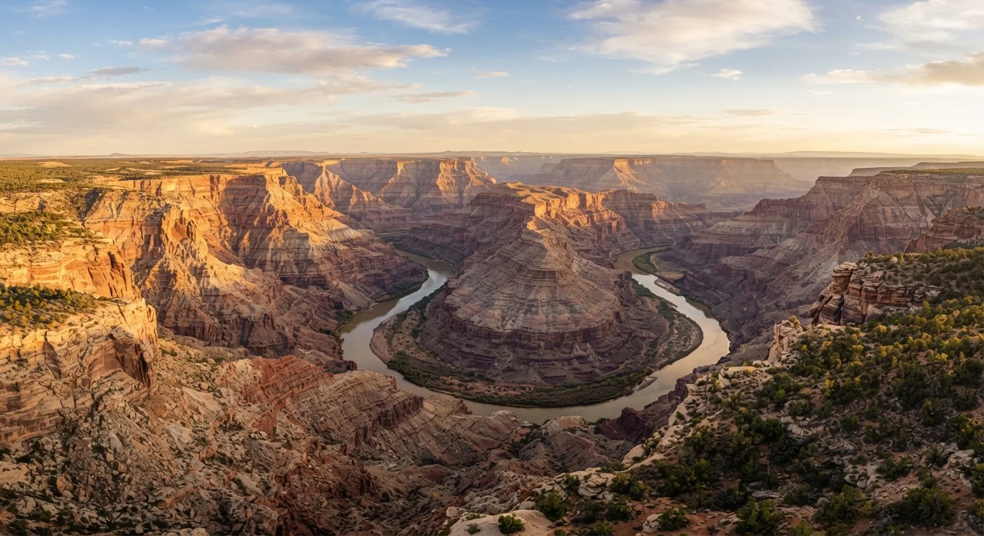
Arizona, Utah, and New Mexico contain some of the most geologically dramatic terrain in North America. The Grand Canyon, at over a mile deep, requires more physical preparation than most visitors expect. Zion Canyon in Utah draws hikers to its narrow slot canyons, while Arches National Park holds over 2,000 natural sandstone arches. The elevation in this region varies widely: the South Rim of the Grand Canyon sits at roughly 7,000 feet, which affects exertion levels for visitors coming from sea level.
Summer temperatures in the desert Southwest regularly exceed 100 degrees Fahrenheit in lower elevations. The NPS consistently warns against hiking the Grand Canyon's inner trails during midday in July and August. Spring (March through May) and fall (September through October) are the most comfortable windows for active exploration.
The East and Midwest: older landscapes, different character
The eastern parks are geologically older, meaning their mountains are more worn and forested rather than jagged. Shenandoah in Virginia follows the Blue Ridge, with Skyline Drive running 105 miles along the ridge. Acadia in Maine is the only national park in New England, covering granite headlands, carriage roads, and the summit of Cadillac Mountain. Great Smoky Mountains, straddling North Carolina and Tennessee, is the most visited national park in the country and charges no entrance fee.
The Midwest contributes Cuyahoga Valley in Ohio, Sleeping Bear Dunes on Lake Michigan, and the Badlands and Wind Cave in South Dakota. These parks see far fewer visitors than their western counterparts, which means easier parking, shorter trail waits, and lower lodging pressure around peak season.
Travelers going solo through any of these regions will find useful orientation in this guide to solo domestic travel, which covers safety planning and independent travel logistics.
Alaska and Hawaii: remote and distinct
Alaska holds eight national parks, including Denali, where the mountain of the same name is the highest peak in North America at 20,310 feet. Wrangell-St. Elias is the largest national park in the system, larger than the entire country of Switzerland. Most Alaska parks have no road access; reaching them requires flights on small aircraft or extended backcountry travel. Costs and logistics are considerably higher than the contiguous 48.
Hawaii Volcanoes National Park on the Big Island gives visitors direct access to active lava fields and volcanic craters. Haleakala on Maui covers a dormant volcano and is known for its high-altitude sunrise. Both Hawaii parks have distinct ecosystems and microclimates that shift dramatically with elevation.
NPS unit
Any site managed by the National Park Service, including parks, monuments, seashores, recreation areas, and historic sites. Not all NPS units carry the "national park" title.
Timed-entry reservation
A permit system used at high-traffic parks that requires visitors to book a specific arrival window in advance. Policies vary by park and season; always check the NPS website before visiting.
America the Beautiful pass
An annual interagency pass sold by the federal government that covers entrance fees at all NPS units and many other federal lands for one year.
Backcountry
Areas of a park beyond developed roads and facilities, typically requiring overnight permits and self-sufficiency. Conditions can be remote and demanding.
For travelers curious about international park-scale wilderness, East Africa as a first-time destination offers a point of contrast in terms of scale, logistics, and landscape type.