

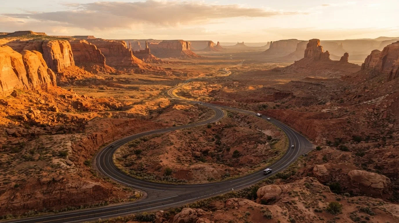
What makes Southwest corridors different from other road trips
Driving through the American Southwest is not like driving the East Coast or the Pacific Northwest. The distances are bigger, the towns sparser, and the scenery more likely to stop you cold. Gas stations can be 80 to 120 miles apart on some stretches, and summer temperatures regularly exceed 105 degrees Fahrenheit in the lower deserts. That combination rewards preparation.
Before you leave, run through a pre-trip vehicle safety check to confirm tire pressure, coolant levels, and that your spare is in good shape. If you are a newer highway driver, brushing up on highway driving skills is worth the time before tackling long, high-speed desert interstates. For a full framework covering budgeting and overnight stays alongside route planning, see road trip planning from scratch.
The corridors below are organized by the experience they deliver rather than by speed or efficiency. Each one threads together landscapes and stops that work as a coherent trip rather than a list of disconnected highlights.
US Route 89: the backbone of canyon country
US-89 runs roughly north-south through Arizona and Utah, connecting Page, Arizona to the Utah border and continuing toward Kanab and eventually Bryce Canyon. This corridor puts some of the Southwest's most recognized geology within a few miles of the road at almost every stage.
South of Page, the highway skirts the eastern edge of the Navajo Nation. The landscape shifts from open plain to slickrock mesas and narrows. Horseshoe Bend sits less than a mile from the highway near Page, and Antelope Canyon requires a guided tour booked through the Navajo Nation. North of Page, the road climbs toward Kanab, Utah, which sits within roughly an hour's drive of Zion, Bryce Canyon, and the Grand Staircase-Escalante.
Services along this corridor are reliable in Page and Kanab but thin between them. Fill up before leaving either town.
US-89 connects more canyon country landmarks per mile than almost any other Southwest highway.
I-40 west to east: the modern Route 66 spine
Interstate 40 crosses the full width of the Southwest, from the California border near Needles through Kingman, Flagstaff, Winslow, Gallup, and Albuquerque before continuing east. It broadly follows the path of historic Route 66, and much of the original alignment is drivable as a parallel frontage road through towns that the interstate bypassed.
Flagstaff sits at 7,000 feet and has a genuine downtown, direct access to the San Francisco Peaks, and easy routes south to Sedona and the Grand Canyon's South Rim. Winslow offers the famous Standin' on the Corner park and a 15-minute detour to Homolovi State Park, which preserves ancestral Hopi ruins. Gallup is a genuine center for Native American arts, with trading posts and galleries that have operated for generations.
The corridor is well-serviced throughout, though the stretch between Winslow and Gallup is long enough that one fuel stop in between is prudent.
Driving the original Route 66 alignment through small towns adds context that the interstate erases entirely.
US-160 through the Four Corners plateau
US-160 cuts east-west across the southern edge of the Colorado Plateau, connecting Tuba City, Arizona to Cortez, Colorado through the Navajo and Ute Mountain communities. The Four Corners Monument, the only point in the US where four states meet, sits just off this highway and is managed by the Navajo Nation.
Mesa Verde National Park, with its cliff dwellings, is a few miles north of Cortez. The drive into the park itself climbs sharply, and the mesa-top elevation sits above 8,500 feet, which affects both engine performance and the likelihood of afternoon weather. Monument Valley Navajo Tribal Park is accessible from US-163, a short jog off US-160 near Kayenta.
This corridor rewards drivers who are interested in Indigenous history and culture. Several chapter communities along the route have roadside vendors selling traditional pottery, jewelry, and food.
US-160 covers more Indigenous cultural history per mile than most other Southwest corridors.
US-191 north to south: the Arizona high country
US-191 runs through eastern Arizona from the Utah border south through the Apache-Sitgreaves National Forests and the Safford Valley to the Mexican border region. The northern section is part of what locals call the Coronado Trail, a stretch that climbs and descends more than 5,000 feet of elevation across 123 miles between Clifton and Springerville.
The Coronado Trail section is one of the more technically demanding drives in the Southwest: it has more than 400 curves along that 123-mile stretch, and the road narrows significantly. It is not suitable for large RVs or drivers uncomfortable with switchbacks. In clear conditions with a capable vehicle, it is genuinely scenic high-country driving through ponderosa pine and mixed conifer forest.
The southern portion of US-191 passes through the Safford area, with access to hot springs and the Gila Box Riparian National Conservation Area, a stark contrast to the high forest a few hours north.
The Coronado Trail section of US-191 has more than 400 curves across a single 123-mile stretch.
Utah's Scenic Byway 12: the high-plateau circuit
Utah Highway 12 runs 124 miles between Panguitch and Torrey, threading through a landscape of pink and orange sandstone that includes Bryce Canyon's edge, the Grand Staircase-Escalante National Monument, and Capitol Reef National Park at its eastern terminus. It is consistently listed among the most scenic drives in the country by travel organizations, though it is included here on its own merits.
The Hogback section, a narrow ridge with steep drop-offs on both sides, is the corridor's most photographed stretch and the most attention-demanding to drive. The road sits above 9,000 feet at its highest point. Towns along the route, including Boulder and Escalante, are small, and services are limited. Boulder has one gas station; Escalante has a few more options.
Because the route connects two major parks, it works well as part of a longer Utah loop rather than as a standalone out-and-back drive.
Utah Highway 12 connects Bryce Canyon and Capitol Reef across 124 miles of continuous sandstone scenery.
The Sonoran corridor: I-10 through southern Arizona
Interstate 10 through southern Arizona is not a scenic byway, but it is a functional corridor that puts Tucson, Saguaro National Park, Chiricahua National Monument, and the Kartchner Caverns within easy reach. Tucson itself has a food culture and architectural character that distinguishes it clearly from Phoenix.
East of Tucson, I-10 parallels the Dragoon Mountains and passes near the town of Willcox, a wine-growing area in a high basin at 4,100 feet. Farther east, the Chiricahua Mountains rise to more than 9,700 feet and hold Chiricahua National Monument, known for its volcanic rock columns. The monument is a 30-mile detour from the interstate near Willcox.
The Sonoran Desert around Tucson has the highest concentration of saguaro cactus in the world, and driving through it in late afternoon light is worth slowing down for.
Tucson's surrounding corridor connects desert ecology, volcanic geology, and a wine region within a single day's drive.
Choosing the right corridor for your trip
The corridors above overlap in places and can be connected. The US-89 and US-160 corridors, for instance, feed naturally into each other if you are looping through the Four Corners region. Drivers who want more park time than driving time tend to anchor in Flagstaff or Moab and work outward in shorter segments.
Seasonality shapes which corridor is practical. The low-elevation Sonoran routes through southern Arizona are comfortable in winter but brutally hot from June through September. The high-plateau routes through Colorado and Utah above 7,000 feet can see snow into May. Monsoon season, typically mid-July through mid-September, brings fast-moving afternoon thunderstorms that flood washes and briefly close roads across the region.
Plan for fuel and water in remote stretches
Several Southwest corridors pass through stretches where the next fuel stop is 80 miles or more away. Carry at least one gallon of water per person per day as a buffer, and know your vehicle's range on a full tank before you leave. Cell coverage is also intermittent on some rural highways, so downloading offline maps before departure is practical rather than optional.
For context on the national parks that sit along and near these corridors, a region-by-region national parks overview covers what to expect at each before you commit to a detour.